Problem
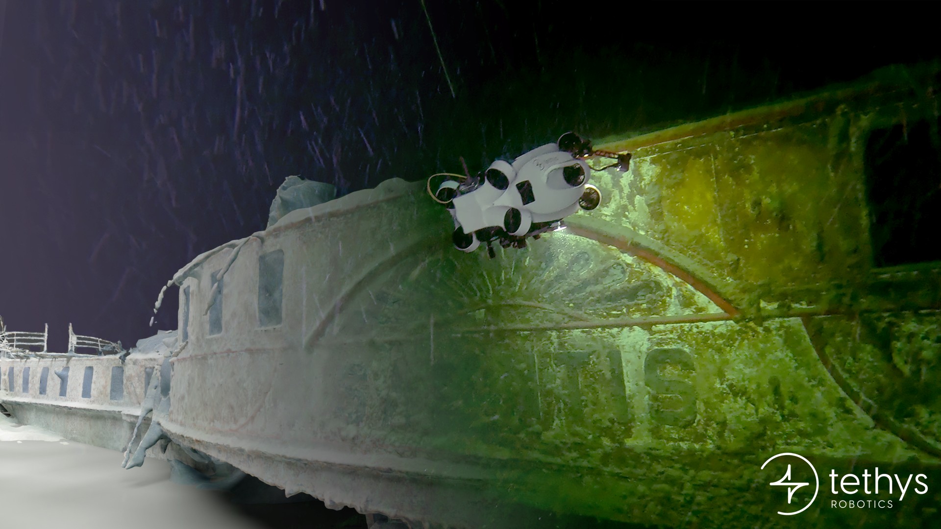
At 200 m depth in Lake Constance lies the wreck of the Säntis.
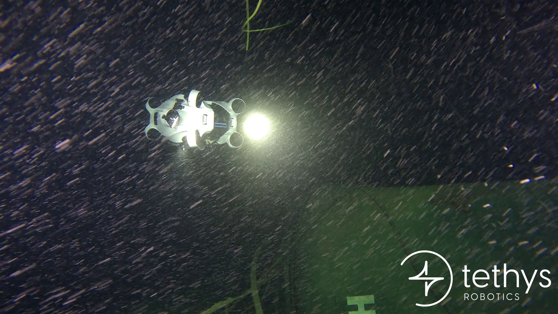
With turbid water and limited visibility, previous expeditions had failed to capture satisfactory data.
Our client asked us to demonstrate that we could do better.
Solution
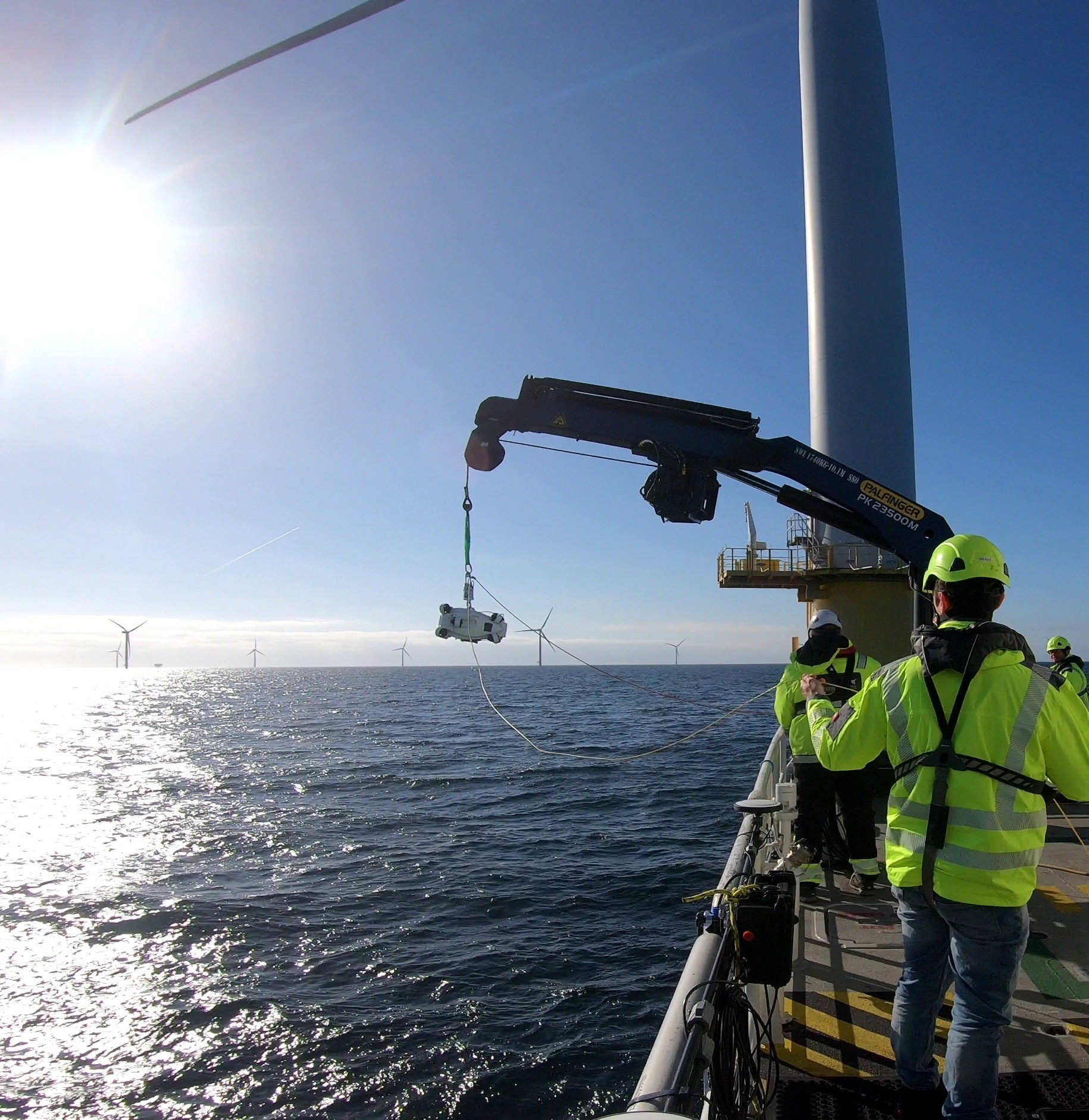
Using the Tethys ONE, we applied a much more systematic method.
The Tethys ONE depth-hold and distance perception pilot-assist functions allowed us to navigate with minimal drift and maintain consistent picture overlap.
Thanks to the modularity of the Tethys ONE, we added external LED lights for improved illumination and mounted additional cameras at 90° and 45° angles to increase image coverage.
Most importantly, the combination of consistent image data and accurate localization was what made a high-quality reconstruction possible. With precise positioning linked to every image, our proprietary photogrammetry software was able to generate a fully detailed digital twin of the Säntis.
The stability, modularity, and reliable localization of the Tethys ONE allowed us to collect all required high-quality data in a single mission and deliver a detailed photogrammetric reconstruction that left our client impressed.
The results speak for themselves.
%20jpg.jpeg)